Home › Construction
Construction & industrial
Progress documentation your PM can actually use
Commercial drone photography and site inspection in Calgary
Repeatable drone capture on a fixed cadence, roof and structure inspections without a lift, and survey grade mapping. Flown by a Transport Canada Advanced RPAS pilot cleared for controlled airspace.
The problem
Most site photos are taken from the ground
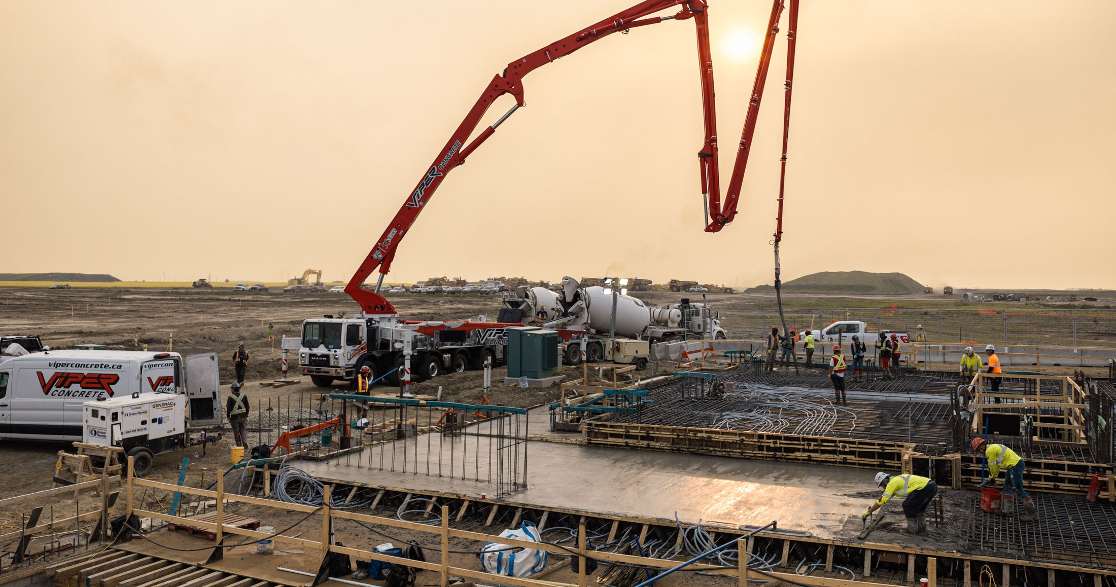
Which means the one angle that shows the whole pour, the full lay-down area, or the actual state of the roof is the one nobody has. Ground level also flattens depth and hides anything behind a hoarding, a stockpile, or the building itself.
Aerial capture solves the coverage problem and makes the set comparable. Positions, altitudes, and headings are logged on the first visit and repeated on every one after, so images from March and September line up frame to frame. The set becomes a record rather than a folder of pictures.
What we deliver
Four things construction clients book
Progress documentation
Fixed position capture on a set cadence so images stack for direct comparison. Nadir for site layout, obliques from the four cardinal headings for elevation and structure. Useful for owner reporting, draw submissions, and disputes about what was standing on which date.
Roof and structure inspection
Close range imagery of roofing, cladding, parapets, and rooftop equipment without booking a lift, a swing stage, or a fall arrest crew. Faster to mobilize than access equipment and no working at height exposure.
Mapping and photogrammetry
Orthomosaics, digital surface models, point clouds, and textured meshes with ground control where accuracy matters. Suits volumetrics on stockpiles and cuts, as built comparison against design, and site planning.
Marketing and handover
The polished version of the same asset. Topping out footage, completed project films, and stills for proposals, award submissions, and the company website. Often the highest value use of a set you were capturing anyway.
Cadence
Monthly is the default
Most vertical builds settle on monthly capture. It is frequent enough to show meaningful change and infrequent enough to stay inexpensive over a two year program.
Sites moving fast through excavation, shoring, and foundation often justify every two weeks during that phase, then drop back. Smaller projects are usually better served by milestone only capture: site prep, foundation complete, topping out, substantial completion.
Whichever cadence you choose, positions and settings are recorded on the first visit and repeated exactly on every one after.
Deliverables
Formats your team already opens
Nothing proprietary, no viewer to install, no per seat licence.
| Stills | JPEG for distribution, DNG when you want the latitude for print or grading |
|---|---|
| Video | H.264 for review and sharing, ProRes when it is going into an edit |
| Orthomosaic | GeoTIFF with a world file, or GeoPDF on request |
| Elevation | Digital surface model as GeoTIFF, contours as SHP or DXF |
| Point cloud | LAS or LAZ |
| Mesh | OBJ with texture, or FBX for visualisation work |
| Coordinate system | NAD83 3TM 114W by default for Calgary. UTM or a project grid on request |
| Handover | Your cloud, your FTP, or a drive. Selects inside 48 hours, full set within five business days |
Compliance
The part most operators skip
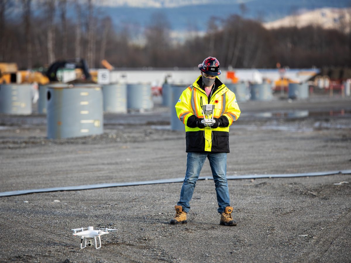
Nearly every commercial site in Calgary sits inside the YYC control zone. Flying there legally requires an Advanced RPAS certificate and a NAV Canada authorization for the date and location, obtained ahead of time rather than on the morning.
You receive a written flight operations plan before mobilization covering airspace, site hazards, crew roles, emergency procedures, and the authorizations obtained. It goes in your project file alongside every other subcontractor submission.
Insurance certificates naming your company as additional insured are issued on request. Site orientation, hoarding, and PPE requirements are respected the same as any other trade on site.
Common questions
Before you email
Can you fly over an active site?
Yes. An Advanced RPAS certificate permits operation near people and in controlled airspace. In practice we coordinate with your superintendent on timing, keep clear of active picks, and work around the crane rather than expecting the crane to work around us. Most captures take under an hour on site.
What does it cost?
A single progress capture on a typical Calgary site is a half day booking. Ongoing programs are quoted per visit with the rate dropping across the term, since positions and flight plans are established on the first visit. Mapping and photogrammetry are quoted separately because processing time scales with site area and the accuracy you need. Send the site address and your intended cadence and you will have a fixed number inside 24 hours.
How accurate is the mapping?
Without ground control, expect relative accuracy suitable for visual comparison and rough volumetrics. With surveyed ground control points placed before the flight, absolute accuracy improves substantially. Tell us what tolerance the deliverable has to meet and we will tell you honestly whether a drone is the right tool or whether you want a surveyor.
Can you work in winter?
Yes, and winter capture is often more useful because there is no foliage hiding the site. Cold shortens battery endurance, which means more packs rather than fewer flights. Hard limits are icing conditions, freezing precipitation, and sustained wind above the airframe rating.
Do you work outside Calgary?
Regularly. Alberta, British Columbia, and Saskatchewan. Travel is quoted at cost with no markup, and for anything past a few hours out it is usually worth batching multiple sites into one trip.
Who owns the footage?
You receive full commercial usage rights to the delivered material for the project it was captured for. We retain the right to use selected imagery in our own portfolio unless your agreement says otherwise, which is a common request on confidential sites and never a problem.
Get a quote
Send the site address and your cadence
Fixed number inside 24 hours, including the aircraft we would put on it and any airspace complications worth knowing about before you commit.
- Direct
- 587.434.9254
- Based in
- Calgary, Alberta
- Compliance
- Transport Canada Advanced RPAS, $7.5M liability, SFOC and NAV Canada authorizations handled in house
Request sent
Thanks. You will hear back within 24 hours, usually sooner. If it is urgent, call 587.434.9254.