
Home › Survey
Survey & inspection
Measurable data, not just pictures
Drone mapping, photogrammetry and asset inspection in Calgary
Orthomosaics, point clouds, and digital twins in the formats your engineers already open. Plus close-range inspection of assets nobody wants to climb.
The problem
A photograph is not a measurement
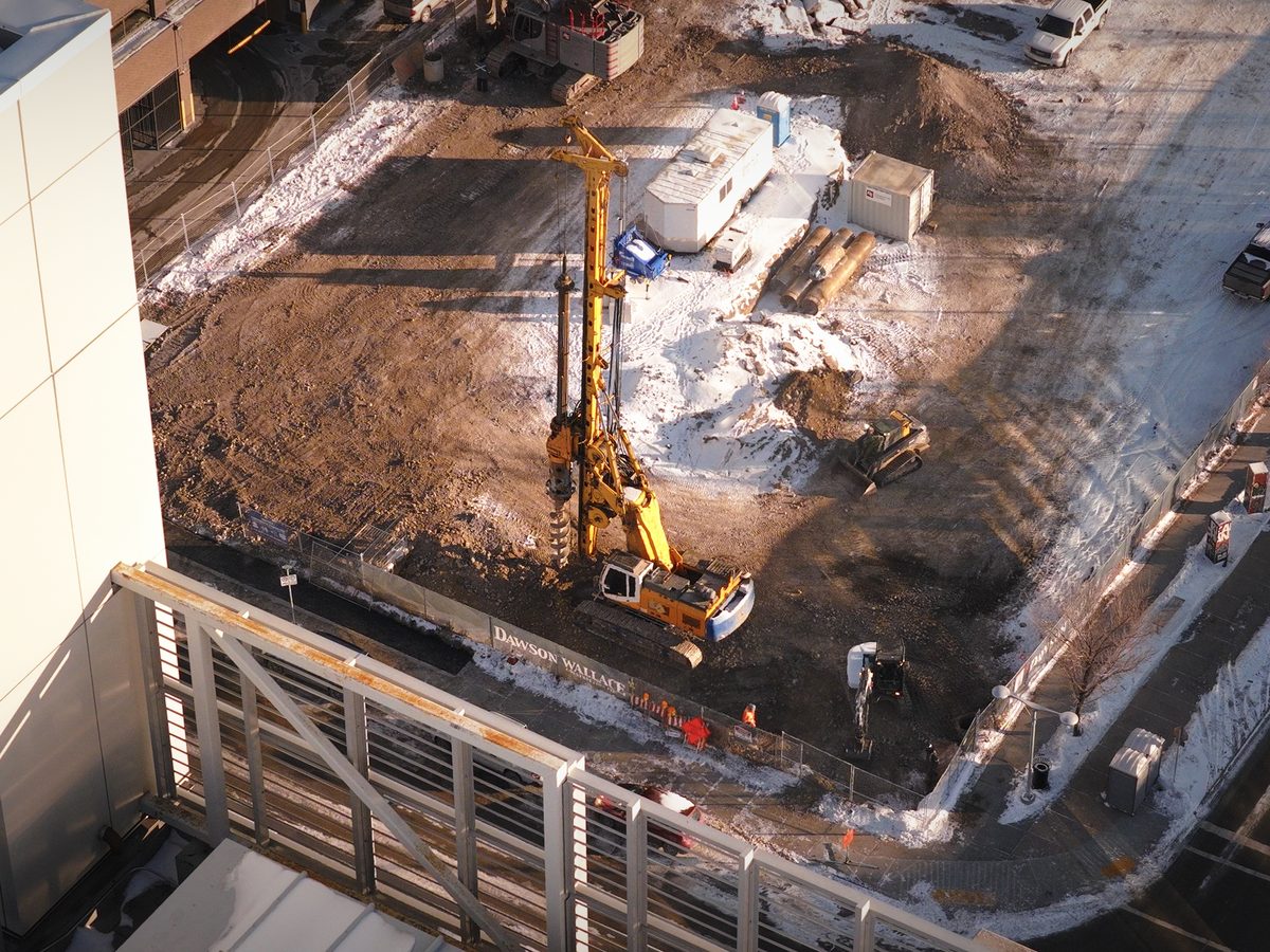
Plenty of drone operators will hand you a nice image of your site. Very few will hand you something with a coordinate system, a known accuracy, and a file your engineer can load into the software they already use.
The difference is ground control, flight planning built for overlap rather than aesthetics, and processing that produces a documented result. It is a survey deliverable that happens to be collected from the air, not a photo shoot with extra steps.
What we deliver
Four deliverables
Orthomosaic and mapping
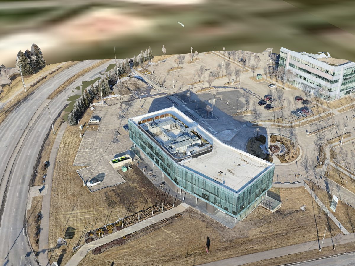
Georeferenced orthomosaic and digital surface model of the site, delivered as GeoTIFF with contours as SHP or DXF. Suits site planning, as-built comparison against design, and anything needing accurate plan view over a large area.
Point cloud and digital twin
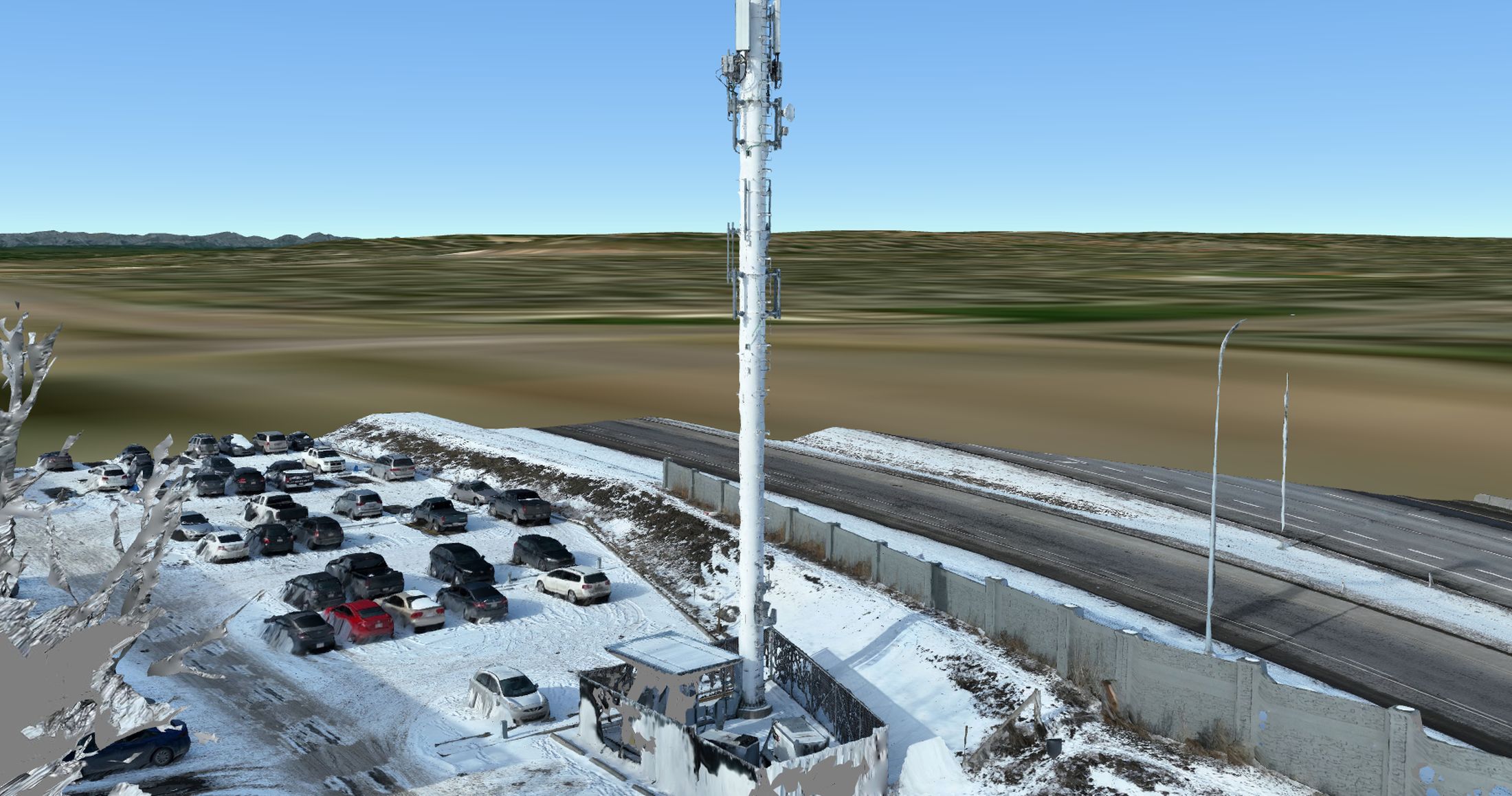
Dense point clouds as LAS or LAZ and textured meshes as OBJ or FBX. Useful for clash detection, retrofit planning, visualisation, and handing an accurate model to a design team who would otherwise be working from assumptions.
Volumetrics
Stockpile, cut, and fill volumes computed from the surface model. Repeatable across visits so change is measurable rather than estimated, which matters for aggregate, earthworks, and reclamation reporting.
Close-range inspection
Roofs, towers, stacks, cladding, and rooftop plant photographed at close range without a lift, a rope crew, or a shutdown. Faster to mobilize than access equipment and no working at height exposure for anyone.
Accuracy
Tell us the tolerance first
Accuracy is the question that determines everything else about the job, and it is the one most quotes skip. Without ground control you get good relative accuracy, which is fine for visual comparison and rough volumetrics. With surveyed ground control points placed before the flight, absolute accuracy improves substantially.
The honest version: if your deliverable has to meet a legal survey standard, you want a surveyor, and we will say so. If it needs to be accurate, repeatable, and considerably faster and cheaper than conventional methods, this is the right tool.
Every processed dataset comes with its quality report, so the accuracy you actually got is documented rather than claimed.
Outputs
Formats your team already opens
Nothing proprietary, no viewer to install, no per-seat licence.
| Orthomosaic | GeoTIFF with world file, or GeoPDF on request |
|---|---|
| Elevation | Digital surface and terrain models as GeoTIFF |
| Contours | SHP or DXF at your specified interval |
| Point cloud | LAS or LAZ, classified on request |
| Mesh | OBJ with texture, or FBX for visualisation |
| Coordinate system | NAD83 3TM 114W by default for Calgary. UTM or project grid on request |
| Inspection imagery | Full resolution JPEG, geotagged, organised by asset or elevation |
| Reporting | Processing quality report supplied with every dataset |
Sectors
Where this gets used
Construction and earthworks for progress volumetrics and as-built comparison. Telecom and utilities for tower and line inspection. Municipal and provincial work including projects for the Government of Alberta and Alberta Parks.
Specialised payloads are available for missions that need them, including hyperspectral imaging integration on a Freefly Alta X for research and environmental work.
Emergency and resilience planning also sits here. A recent GIS consulting engagement covered hurricane and flood preparedness mapping, which is the same photogrammetry discipline applied to a different question.
Common questions
Before you email
How accurate is it really?
Without ground control, expect relative accuracy suitable for visual comparison and approximate volumetrics. With surveyed ground control points, absolute accuracy tightens considerably and is documented in the quality report supplied with the dataset. Tell us the tolerance the deliverable has to meet and we will tell you honestly whether this is the right method.
Can this replace a survey?
For legal survey, boundary work, or anything requiring a surveyor’s seal, no, and anyone telling you otherwise is selling something. For volumetrics, progress comparison, as-built checks, planning, and visualisation it is faster, cheaper, and covers far more ground than conventional collection.
What does processing cost?
Processing scales with site area and the accuracy required, so it is quoted separately from the flying. A small site with no ground control is inexpensive. A large site requiring surveyed control, classification, and multiple deliverable formats is a different job. Send the area and the outputs you need for a fixed number.
Can you inspect assets we cannot shut down?
That is often the strongest argument for it. Towers, stacks, roofs, and elevated plant can be imaged at close range while operating, with no scaffold, no rope crew, and no working at height exposure. Thermal is available where the inspection calls for it.
How long does a site take?
A typical few-hectare site is a half day of flying. Processing runs from overnight to several days depending on area and the outputs requested. Larger or more complex sites are scoped individually, and it is usually worth batching adjacent sites into one mobilization.
Do you work in remote locations?
Regularly, across Alberta, British Columbia, and Saskatchewan. Remote sites are frequently simpler from an airspace perspective because they sit outside controlled airspace. Travel is quoted at cost with no markup.
Get a quote
Send the site and the tolerance
Area, the outputs you need, and the accuracy it has to meet. Fixed quote inside 24 hours covering capture and processing.
- Direct
- 587.434.9254
- Based in
- Calgary, Alberta
- Compliance
- Transport Canada Advanced RPAS, $7.5M liability, SFOC and NAV Canada authorizations handled in house
Request sent
Thanks. You will hear back within 24 hours, usually sooner. If it is urgent, call 587.434.9254.